There are those who see a crowded anchorage and are drawn to it, eager to partake in its lively social scene. There are those who see a crowded anchorage and are repelled by it, eager to partake in nature’s quiet solitude. As the heart of the Bahamas cruising community, Georgetown receives its fair share of glowing compliments and derogatory remarks. It’s a bit like family summer camp at the beach, and plenty of people spend the entire season here year after year. It’s not our cruising ideal, but an unusually long cold front held us here for two weeks and we were happy with the many adventures it offered.
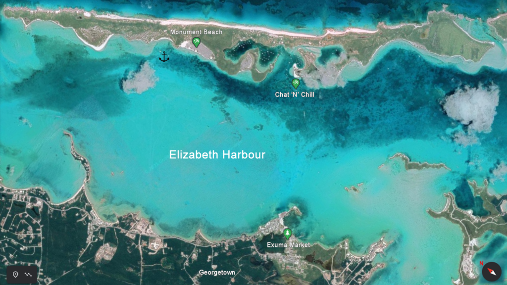
What is referred to as “Georgetown” is actually the mile-wide Elizabeth Harbour, with the town of Georgetown on the southwest side and Stocking Island on the northeast side. 80-90% of the boats are anchored at Stocking Island for protection from the prevailing easterly winds. The social center lies there, at the 9 acre beach corner establishment known as Chat ‘N’ Chill. As it says on their website, “Chat ‘N’ Chill® was born in 1998 as a day camp for people who lived on their boats in Elizabeth Harbour. Somewhere they could go for great food, volleyball, a chilled-out atmosphere and even Sunday church without needing a car or a taxi.“
Monument Hill
We anchored at the northern-most anchorage, called Monument Beach, in part because it was first in our path (we are lazy that way) and in part because it provided the highest hill to hide behind. It proved to be a perfect spot to weather out the blow, with quiet proximity to everything there was to see.
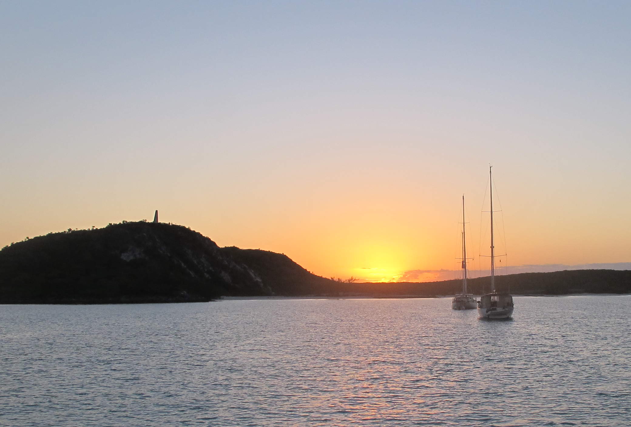
High above the beach, at 37 meters, lies a concrete beacon known simply as The Monument. We haven’t found reliable information on its history. Is it a monument to something? Was there a light beacon here in the past? But Monument Hill provides the best hike in Georgetown.
Monument Beach
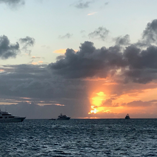
Facing south, one can see the anchorage and beach below. This picture was taken shortly after we arrived and would have at least another 10 boats in it if taken during the blow. There are several more anchorages farther down Stocking Island, plus two small bays of mooring fields. And of course, this is in a very slow COVID year. We heard there was 2-3 times more boats in earlier years.
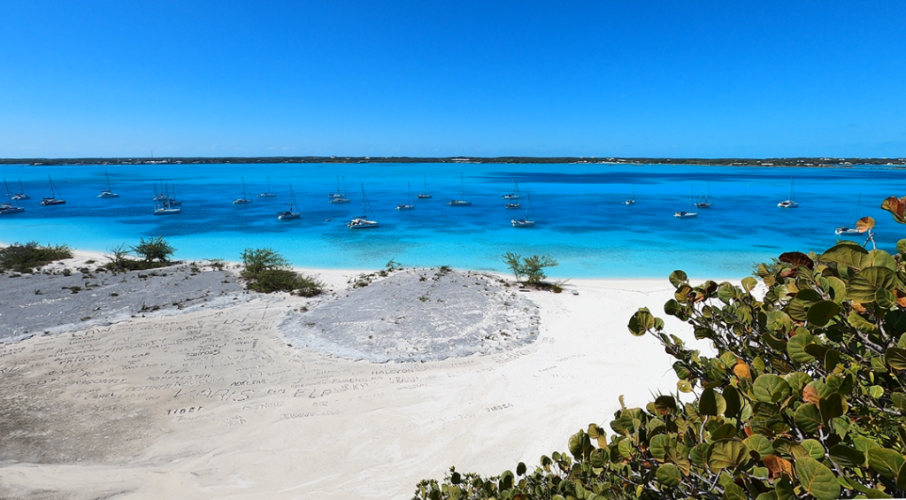
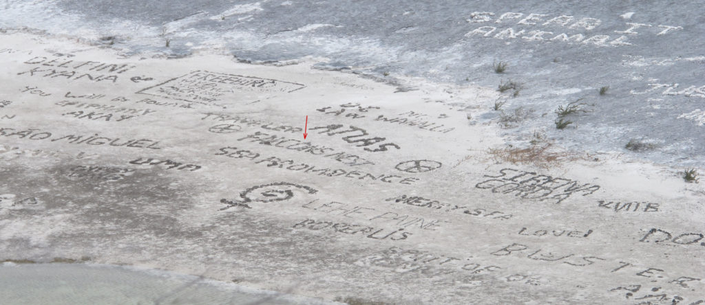
South of the white sand beach (to the left in this picture) is a larger, rockier area where people leave their boat name written in gathered rocks for those to see from above. It’s times like these when you want a short boat name. It took us a very long time to find enough unused and dark-colored rocks in the area to spell it out, but we succeeded!
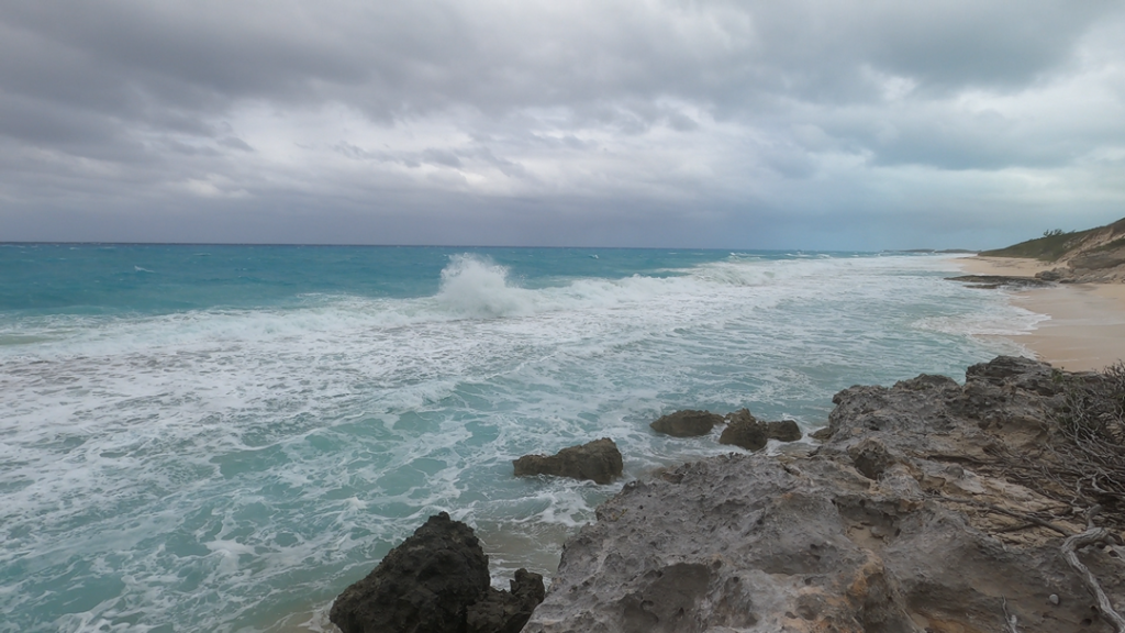
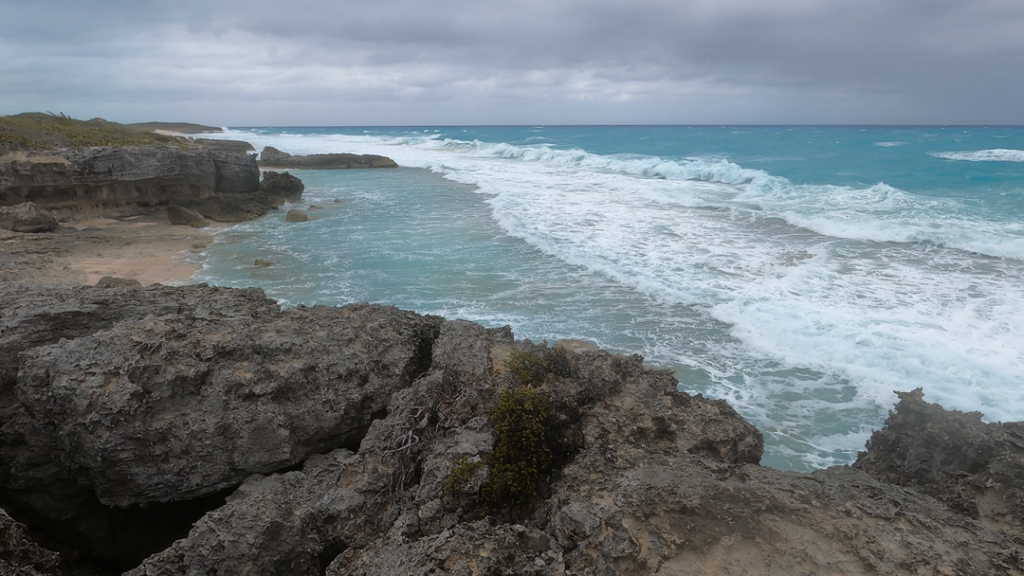
Exuma Sound Side
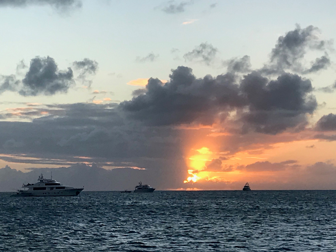
Continuing on from the monument, the trail leads to a huge beach on the Exuma Sound (aka Atlantic Ocean) side of Stocking Island. We went there a few times, but the most memorable was during the blow to see the angry seas pounding that side of the island.
Hamburger Beach
Directly in front of our anchor spot, to the left of Monument Beach, was the long and mostly deserted Hamburger Beach. Like many places in the Bahamas, part of the adventure is guessing the history behind the name. No idea! But it has beautiful white sand, great hikes, and is unbelievably protected. It was entirely peaceful while the wind and waves were pounding on the other side of Monument Hill.
Georgetown
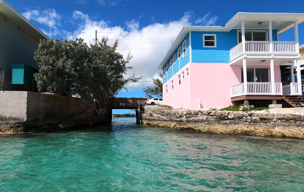
Most of the anchorage visits Georgetown by taking their dinghy to the small dock in Lake Victoria, via the YouTube-famous Lake Victoria bridge. Calling it a “lake” is quite generous – think small pond.
The dock is attached to Exuma Market, the closest we had seen yet to a full grocery store since arriving in the Bahamas. There is also a second grocery store down the street and we went to both several times. We did our first real provisioning in Georgetown since leaving Florida almost three months earlier. We could have easily gone another month without a store, but we were getting low on frozen chicken and hadn’t seen fresh produce in quite awhile.
Georgetown has a number of places to eat and some small shops. Other than window-shop, we skipped all of that.
Man-O-War Cay
On our last day in Georgetown, we took advantage of the improved weather to explore the southeastern reaches of Elizabeth Harbour. There is so much to explore here!
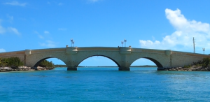
The path south takes you past Crab Cay and the bridge to Georgetown. While just a bridge, we were surprised by this modern-looking development to what appears to be a deserted island. Like quite a few places we encountered, it suggested development plans long since abandoned.
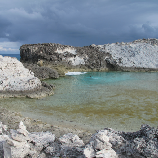
Past the bridge is the amazing Redshanks anchorage. This is actually three small anchorages, each farther in from a series of inlets. It is amazing because the inlets are very shallow, but those who venture inside have 360 degree protection.
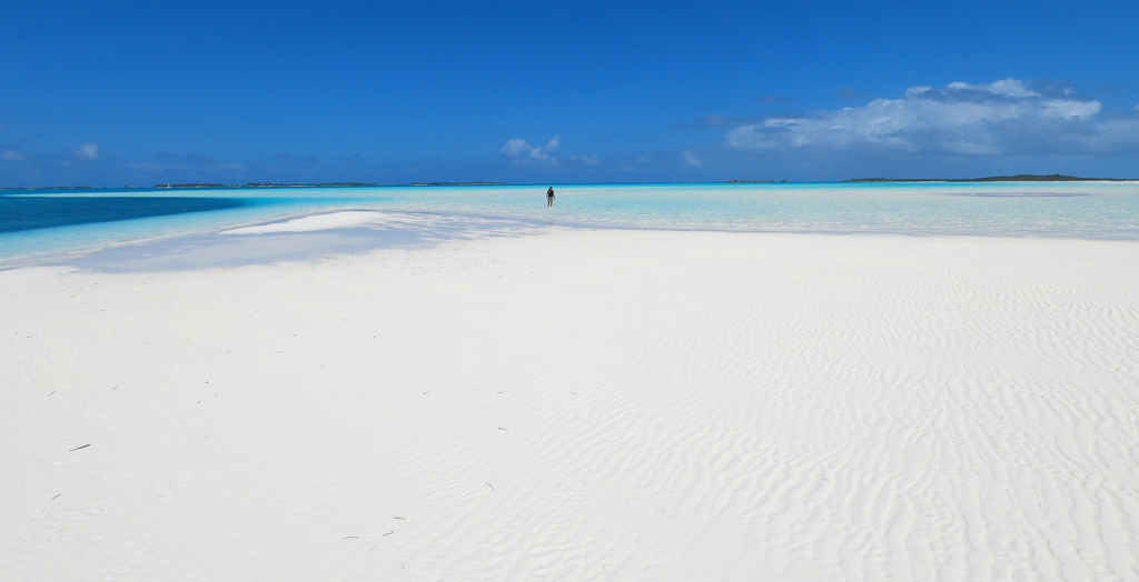
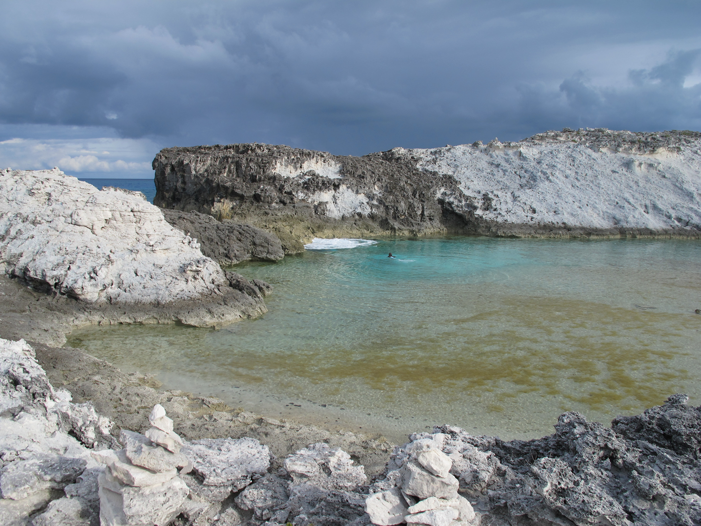
Continuing on, we stumbled upon a vast white sandbar. One of the benefits of blind, ignorant exploring is the sense of personal discovery and, in this case, being blown away. Wow! Turns out we had arrived at low tide to a known destination. Fortunately, the expensive tour boats were way at the other end. We spent a couple hours here exploring and marveling at the range of aqua colors. Then, back into the dinghy for the 7 mile return trek. Pina Colada time!
