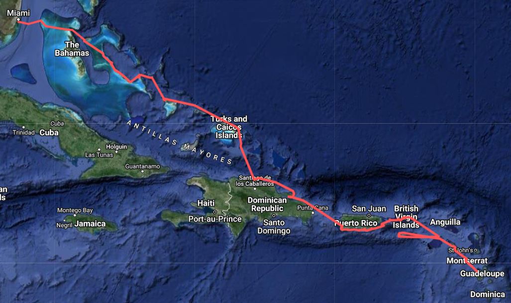
Normans Cay
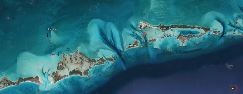
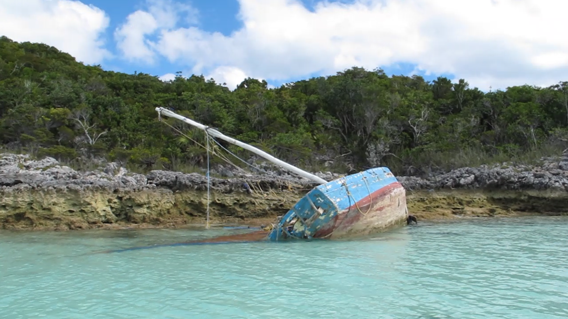
We motored south from Long Cay with plans to anchor inside the Normans Cay channel for protection from the expected strong northerly. Normans Cay is a popular spot, with a submerged drug-runner’s plane in the channel, a new marina, snorkeling, and hiking. For us, it was an exercise in risk management and we left after less than two hours.
We pulled into Normans Cay and anchored around 11:30 in the morning. There were approximately 8 other boats there, crowded somewhat close together to leave the channel open for passing traffic. This was our first lesson on what happens when strong tidal current meets strong wind. In this lesson, the ebb current was flowing from the west while the high-teens wind was blowing from the north. The tidal currents in cuts like this can be quite strong. Within 5 minutes of backing down on the anchor (which pulls the chain tight in front of us), we found our anchor below our port sugar scoop (which is the back of the boat). All of us in the area were swinging in unpredictable directions and we had no idea where anyone else’s anchor was, which meant we really didn’t know our swing room. We decided to have lunch and observe.
Shortly after lunch, a 120 foot yacht slowly approached looking confused. Rather than stay in the narrow channel, they were attempting to pass through the even narrower gap between us and the catamaran 70-80 feet off our port side. While they managed to not hit us, the resulting disturbance got everyone moving and it looked like were going to collide with our neighbor. He and I each ran to our helms. I started the engines and added some distance while he watched. Given the wind, cold and questionable anchorage conditions, we decided to pass on the plane wreck and left. Time for Plan B.
Elbow Cay
Always have a Plan B. In coming weeks, we would learn the importance of having a Plan C and a Plan D.
With a strong northerly coming, there were few options. Just south was a small strip running west to east called Elbow Cay. We tucked in close behind it, on the eastern end because of Elbow Cays slightly rotated orientation.
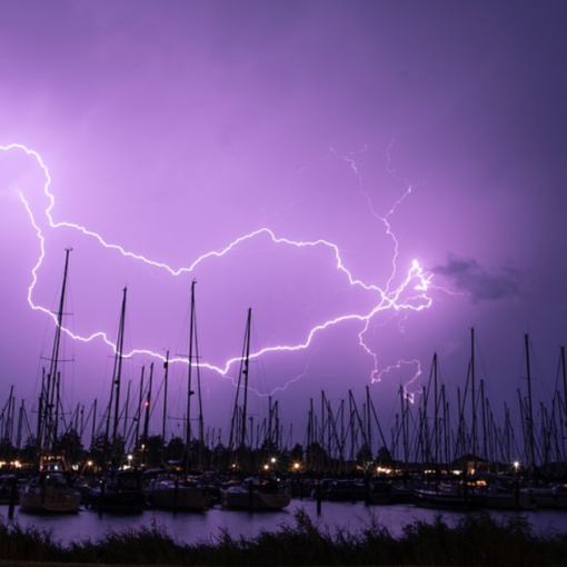
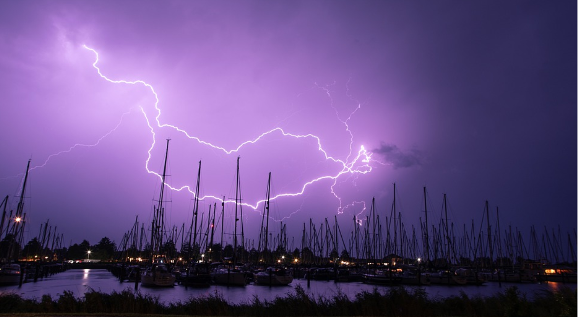
It proved to be a miserable night. The wind held us pointing north, but for reasons I still don’t understand the swell was pure west. My guess is that the northerly swell was wrapping around the cay. Catamarans don’t behave well when they have swell on their beam. The first hull goes up and the other goes down, followed by the opposite as the wave passes to the other hull. It can get violent and difficult to sleep. Rock and roll!
Fortunately, the northerly would give way to days of calm easterlies and we moved the following morning to nearby Shroud Cay.
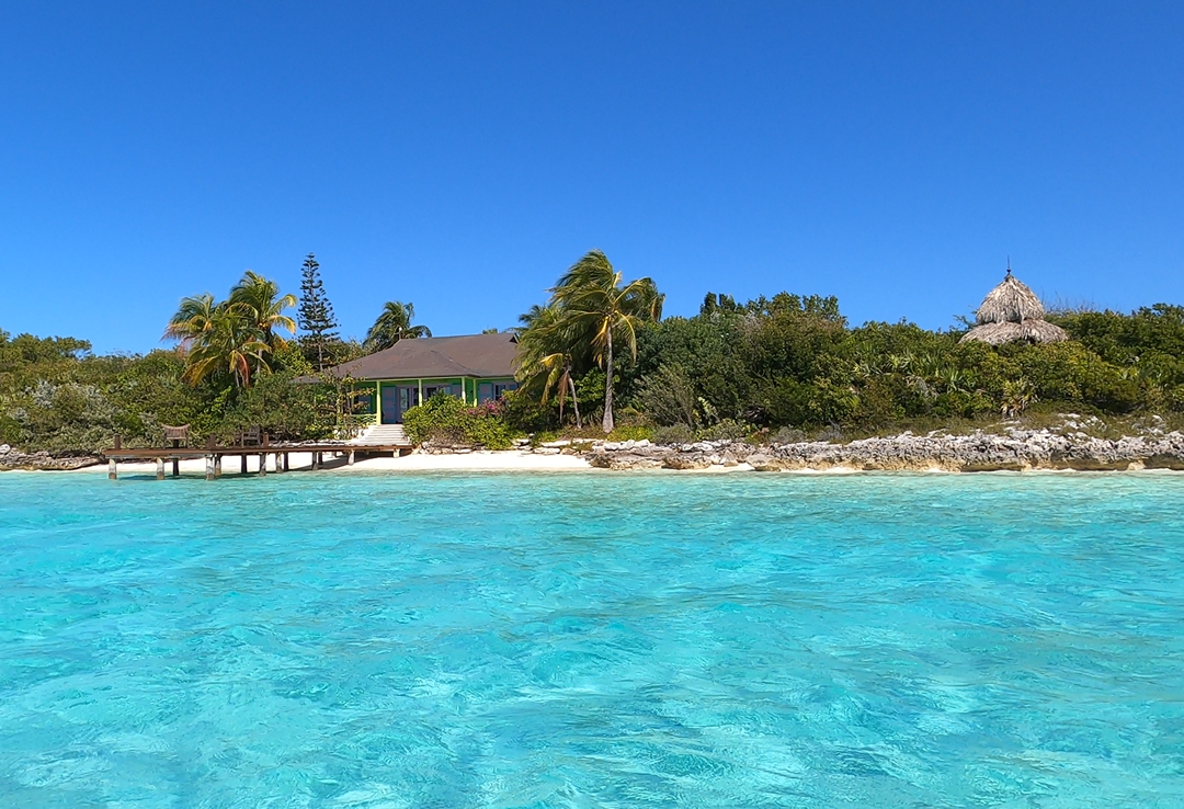
Exumas Land and Sea Park
Shroud Cay was our first stop in the Exumas Land and Sea Park. Created in 1958 and covering 176 square miles, it was the first land and sea park in the world. It is a pure no-take preserve – no fishing, no facilities, no souvenir taking and numerous mooring balls to help preserve the sea bed.
Depending on boat size and type, there are fees associated with being in the park. For Falcons Nest, anchoring was $24 per night and mooring was $35 per night. Given its pristine beauty, we were happy to support the cause.
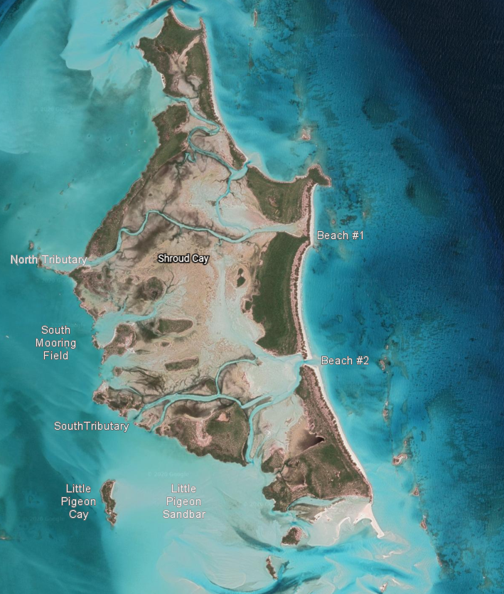
Shroud Cay
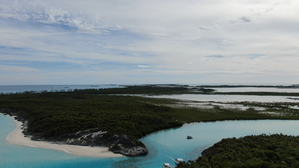
While shaped like an island, Shroud Cay’s interior is comprised primarily of mangrove tributaries. It was our favorite stop of the trip so far.
We anchored just below the South Mooring Field. There were 5 personal boats in the area, along with one “super yacht”. Holding was fantastic, with the anchor disappearing entirely into the white sand.
North Tributary
Our first excursion was to the north-end tributary. This is the only one in which motorized vessels are allowed, and they must maintain idle speed. Generally people respected the rule, but on our return a super yacht’s tender came speeding through like it was their personal race trace. There were people in the water behind us – hopefully no one was injured.
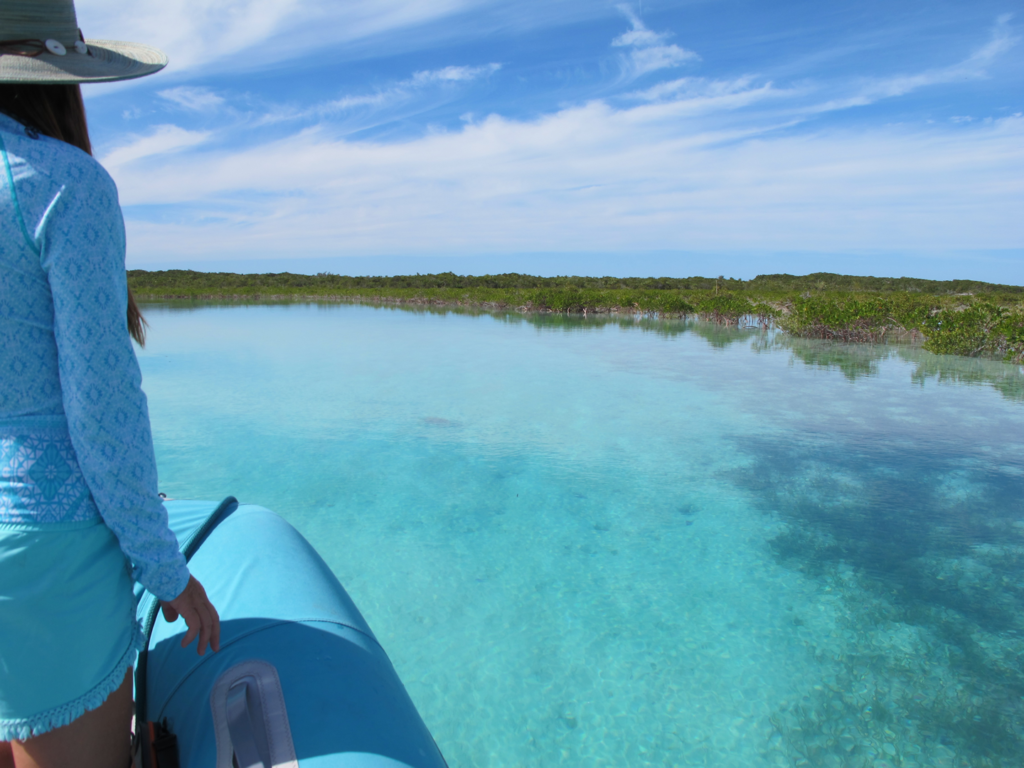
The crystal clear channel wound back and forth through the mangroves, occasionally branching off into unexplored dead-ends.
The end greeted us with a stunning white sand beach facing the Exuma Sound.
South Tributary
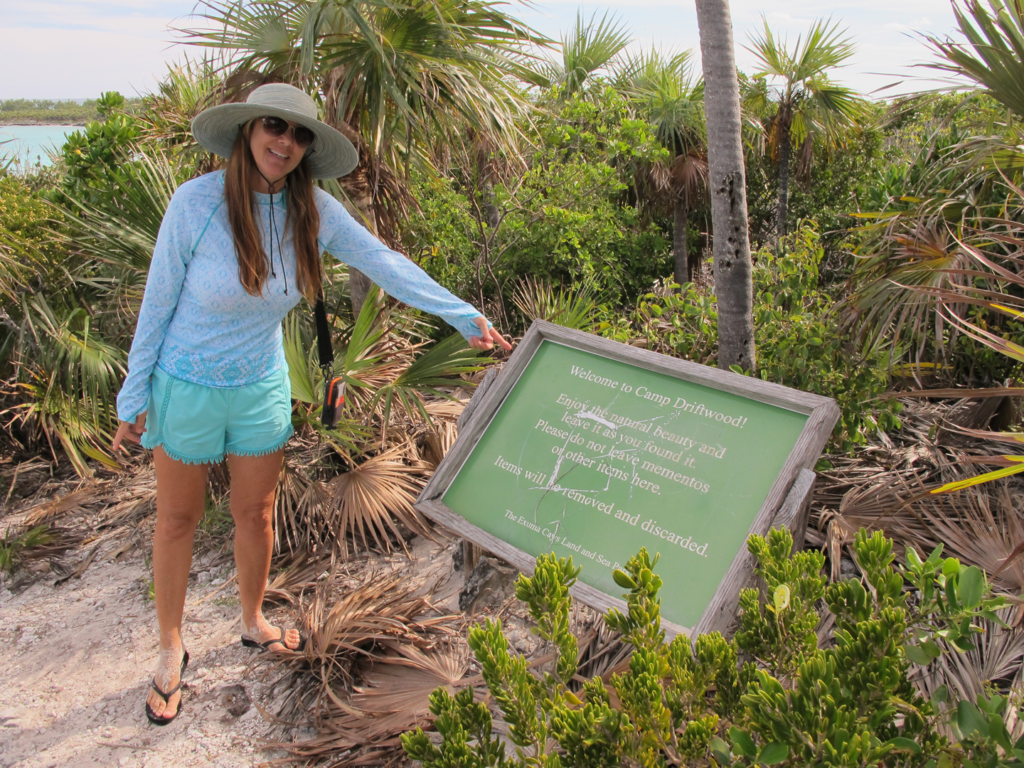
Around the corner from us to the south was a much smaller and shallower tributary. It wasn’t clear from the maps if it went all the way through, but that’s what exploring is for!
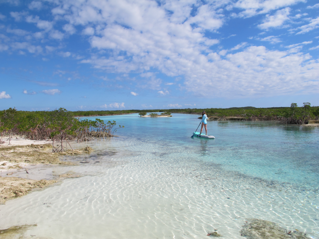
Motorized vessels are not allowed here, but it was a perfect day for paddle boarding. Even though we were going slow in the dinghy before, you see so much more paddle boarding through calm clear waters.

After 1.8 miles (we measured later), we reached an expanse of white sand forming a short hill. The tributary didn’t go all the way through, but clearly the coast was near. The tide was rising, so we left the boards a few feet from the water and tied them to a stick buried in the sand.
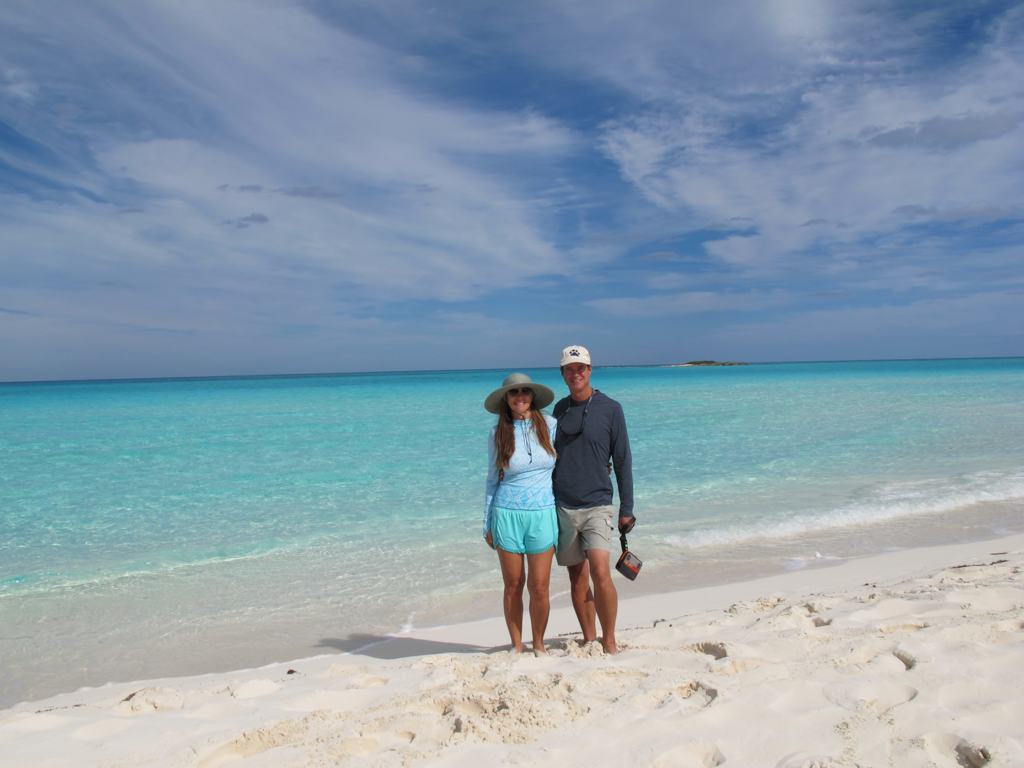
Time for a hike! Up the hill and wow!! A huge beach and clear water all to ourselves.
We spent hours here, swimming, sunning and having lunch before making the long trip back. One of the cool things about tides is that what was old can be new. We came here at low tide, but were returning as high tide approached. In the flatter sandy sections, the small tributary was now wide areas of water. We got lost and grounded our paddle boards several times before finding our way back.

